
1964 Map of Medary
USGS Topo · Published 1965About this map
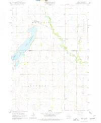
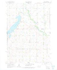
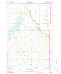
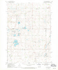
The Big Sioux River winds through the eastern portion of this landscape, its serpentine path defining the townships of Trenton and Riverview. In the early 1960s, this region of the Brookings and Moody County line maintained a quiet, rural character focused on small school districts and lakeside recreation. Lake Campbell dominates the northwest, accompanied by the Brookings Country Club and the Lake Campbell Cem. The rural social fabric is evidenced by the distribution of country schoolhouses, including Galla Sch, Lampson Sch, Midway Sch, and McCurdy Sch. Near the small settlement of Medary, a Roadside Park sits alongside the river's edge, highlighting the area's transition from agricultural prairie to water-adjacent community spaces during this post-war era.
Find a feature on this map
20 named features on this map. Tap any name to fly to it.
Don’t see what you’re looking for? This feature index may not catch every label — zoom into the map to look around manually.
Map Details
Editions of this 1964 Medary Map
4 editions found
Other maps of this area

1953 · Watertown
USGS Topo · 1:250,000

1958 · Watertown
USGS Topo · 1:250,000

1964 · Brookings
USGS Topo · 1:24,000

1964 · Rutland SE
USGS Topo · 1:24,000

1964 · Flandreau SW
USGS Topo · 1:24,000

1964 · Flandreau NW
USGS Topo · 1:24,000

1964 · Aurora
USGS Topo · 1:24,000

1968 · Volga
USGS Topo · 1:24,000
1968 · Rutland
USGS Topo · 1:24,000
1968 · Rutland NW
USGS Topo · 1:24,000