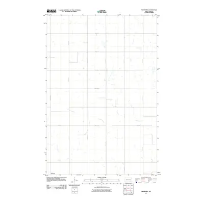
2011 Map of Medberry
USGS Topo · Published 2011About this map
Medberry appears in the southwestern corner of this LaMoure County landscape, situated within a vast grid of section lines and agricultural roads. The terrain is defined by the winding course of Cottonwood Creek, which meanders eastward through the central and southern portions of the territory. This 2011 survey illustrates the rural infrastructure of Russell Township, where the transition from primary routes like County Rd 163 and County Rd 34 to numbered section roads like 88th Ave SE facilitates movement through the prairie. The geography is punctuated by numerous small depressions and seasonal water bodies typical of the region, emphasizing the drainage patterns surrounding the creek.
Find a feature on this map
15 named features on this map. Tap any name to fly to it.
Don’t see what you’re looking for? This feature index may not catch every label — zoom into the map to look around manually.
Map Details
Editions of this 2011 Medberry Map
This is the sole edition of this map. No revisions or reprints were ever made.
Other maps of this area

1894 · La Moure
USGS Topo · 1:62,500

1895 · Lamoure
USGS Topo · 1:125,000

1896 · Jamestown
USGS Topo · 1:125,000

1896 · Edgeley
USGS Topo · 1:125,000

1897 · Eckelson
USGS Topo · 1:125,000

1918 · La Moure
USGS Topo · 1:125,000

1925 · Edgeley
USGS Topo · 1:125,000

1952 · Dickey
USGS Topo · 1:24,000

1953 · Jamestown
USGS Topo · 1:250,000

1953 · Adrian
USGS Topo · 1:24,000