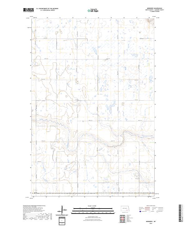
2024 Map of Medberry
USGS Topo · Published 2024About this map
Medberry occupies a section of the northern Great Plains in LaMoure County, defined by a landscape of prairie potholes and the winding path of Cottonwood Creek. This survey captures the rural character of the region, where a strictly organized grid of section-line roads, such as 86th Ave SE and 64th St SE, dictates the movement across the agricultural terrain. The creek itself provides the primary topographic variation, carving a shallow valley through the center of the quadrangle. The distribution of numerous small wetlands and seasonal ponds across the map highlights the characteristic drainage patterns of the Coteau du Missouri, where localized depressions in the glacial till create a complex hydrological network essential to the local ecosystem and farming history.
Find a feature on this map
20 named features on this map. Tap any name to fly to it.
Don’t see what you’re looking for? This feature index may not catch every label — zoom into the map to look around manually.
Map Details
Editions of this 2024 Medberry Map
This is the sole edition of this map. No revisions or reprints were ever made.
Other maps of this area

1894 · La Moure
USGS Topo · 1:62,500

1895 · Lamoure
USGS Topo · 1:125,000

1896 · Jamestown
USGS Topo · 1:125,000

1896 · Edgeley
USGS Topo · 1:125,000

1897 · Eckelson
USGS Topo · 1:125,000

1918 · La Moure
USGS Topo · 1:125,000

1925 · Edgeley
USGS Topo · 1:125,000

1952 · Dickey
USGS Topo · 1:24,000

1953 · Jamestown
USGS Topo · 1:250,000

1953 · Adrian
USGS Topo · 1:24,000