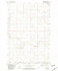
1982 Map of Medberry
USGS Topo · Published 1983About this map
Cottonwood Creek meanders through this portion of LaMoure County, defining a prairie landscape marked by small settlements and the heavy infrastructure of the Burlington Northern railroad. The map highlights the localized township organization of Russell, Roscoe, and Henrietta, reflecting the grid-based settlement patterns of the North Dakota plains. Small communities like Medberry and Russell serve as focal points in a region primarily dedicated to agriculture and resource extraction, as evidenced by several Gravel Pits scattered near the creek. The presence of a Townhall in the northwest corner suggests a central site for local civic life and governance in this rural township at the start of the 1980s.
Find a feature on this map
11 named features on this map. Tap any name to fly to it.
Don’t see what you’re looking for? This feature index may not catch every label — zoom into the map to look around manually.
Map Details
Editions of this 1982 Medberry Map
This is the sole edition of this map. No revisions or reprints were ever made.
Other maps of this area

1894 · La Moure
USGS Topo · 1:62,500

1895 · Lamoure
USGS Topo · 1:125,000

1896 · Jamestown
USGS Topo · 1:125,000

1896 · Edgeley
USGS Topo · 1:125,000

1897 · Eckelson
USGS Topo · 1:125,000

1918 · La Moure
USGS Topo · 1:125,000

1925 · Edgeley
USGS Topo · 1:125,000

1952 · Dickey
USGS Topo · 1:24,000

1953 · Jamestown
USGS Topo · 1:250,000

1953 · Adrian
USGS Topo · 1:24,000