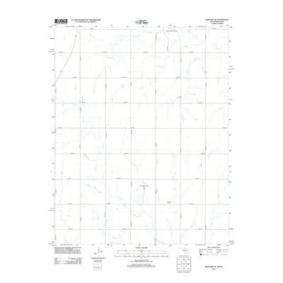
2012 Map of Medford NE
USGS Topo · Published 2012About this map
Bluff Cr and its tributaries carve a network of drainages through this section of the Kansas-Oklahoma borderlands, defining a landscape of agriculture and resource extraction. The area is marked by the presence of the Southeast Renfrow Oil Field, indicating the persistent role of the petroleum industry in the local economy. A grid of rural roads, including e0010 RD and n3070 RD, provides access to the scattered cemeteries and landmarks that anchor the community's history.
Find a feature on this map
28 named features on this map. Tap any name to fly to it.
Don’t see what you’re looking for? This feature index may not catch every label — zoom into the map to look around manually.
Map Details
Editions of this 2012 Medford NE Map
This is the sole edition of this map. No revisions or reprints were ever made.
Other maps of this area

1889 · Caldwell
USGS Topo · 1:125,000

1890 · Wellington
USGS Topo · 1:125,000

1893 · Caldwell
USGS Topo · 1:125,000

1897 · Caldwell
USGS Topo · 1:125,000

1955 · Wichita
USGS Topo · 1:250,000

1955 · Enid
USGS Topo · 1:250,000

1958 · Enid
USGS Topo · 1:250,000

1958 · Wichita
USGS Topo · 1:250,000

1965 · South Haven
USGS Topo · 1:24,000

1968 · Deer Creek
USGS Topo · 1:24,000