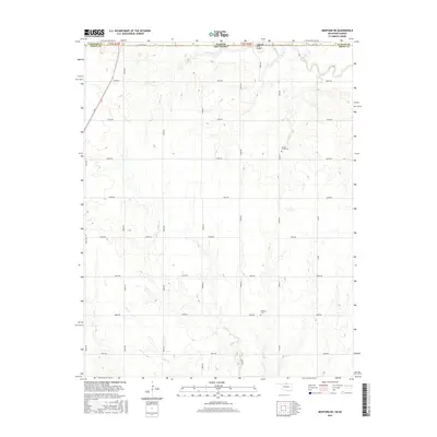
2016 Map of Medford NE
USGS Topo · Published 2016About this map
Kansas and Oklahoma meet along a straight surveyor’s line where Sumner County and Grant County share a border defined by the section-line roads of the southern plains. The landscape is a network of agricultural plots drained by numerous small waterways, including Sullivan Br and Bluff Cr to the north, and Spring Cr which meanders through the central plains. Historical evidence of early settlement is found at the Spring Creek Cem and Williams Cem, providing touchpoints for genealogical research in this rural borderland. The crossing of the state line is marked by the Cherokee Strip Bridge, a name referencing the historic land opening in the late 19th century. A precise grid of rural roads, such as e0060 RD and n3050 RD, connects isolated farmsteads across the undulating terrain of the Midcontinent.
Find a feature on this map
33 named features on this map. Tap any name to fly to it.
Don’t see what you’re looking for? This feature index may not catch every label — zoom into the map to look around manually.
Map Details
Editions of this 2016 Medford NE Map
This is the sole edition of this map. No revisions or reprints were ever made.
Other maps of this area

1889 · Caldwell
USGS Topo · 1:125,000

1890 · Wellington
USGS Topo · 1:125,000

1893 · Caldwell
USGS Topo · 1:125,000

1897 · Caldwell
USGS Topo · 1:125,000

1955 · Wichita
USGS Topo · 1:250,000

1955 · Enid
USGS Topo · 1:250,000

1958 · Enid
USGS Topo · 1:250,000

1958 · Wichita
USGS Topo · 1:250,000

1965 · South Haven
USGS Topo · 1:24,000

1968 · Deer Creek
USGS Topo · 1:24,000