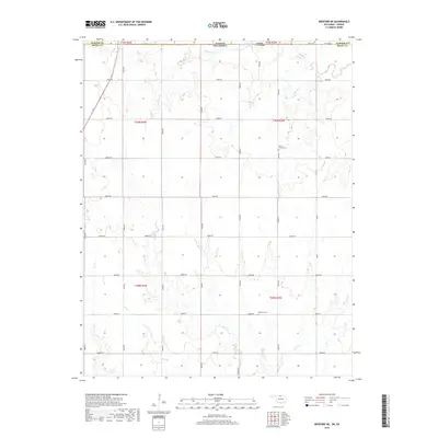
2018 Map of Medford NE
USGS Topo · Published 2018About this map
The Kansas-Oklahoma state line serves as the primary geographic divide on this map, separating Sumner County from Grant County. This agricultural landscape is defined by the section-line road grid, where rural tracks like Logan Road and e0060 RD cross a terrain carved by numerous drainages. Small communal markers are preserved here, including the Spring Creek Cemetery and the Williams Cemetery, which are located in the northern and southern halves of the sheet respectively. Near the state border, the Cherokee Strip Bridge spans the waters of Bluff Creek, a site echoing the region's cattle drive and land run history. The drainage network is complex, featuring Sullivan Branch, Deer Creek, and Spring Creek, which move through the fields and pastures that characterize this borderlands area.
Find a feature on this map
36 named features on this map. Tap any name to fly to it.
Don’t see what you’re looking for? This feature index may not catch every label — zoom into the map to look around manually.
Map Details
Editions of this 2018 Medford NE Map
This is the sole edition of this map. No revisions or reprints were ever made.
Other maps of this area

1889 · Caldwell
USGS Topo · 1:125,000

1890 · Wellington
USGS Topo · 1:125,000

1893 · Caldwell
USGS Topo · 1:125,000

1897 · Caldwell
USGS Topo · 1:125,000

1955 · Wichita
USGS Topo · 1:250,000

1955 · Enid
USGS Topo · 1:250,000

1958 · Enid
USGS Topo · 1:250,000

1958 · Wichita
USGS Topo · 1:250,000

1965 · South Haven
USGS Topo · 1:24,000

1968 · Deer Creek
USGS Topo · 1:24,000