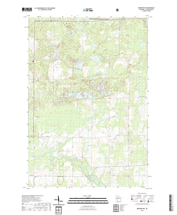
2022 Map of Medford NW
USGS Topo · Published 2022About this map
Chequamegon National Forest defines the northern reaches of this Taylor County landscape, where a dense network of glacial lakes and wetlands shapes local development. The presence of Molitor Cem near the western boundary provides a touchpoint for local genealogy, while the central Washington Flowage and the nearby 0.4 Reservoir illustrate the active management of water resources in the region. The map shows a clear pattern of lakes with descriptive names such as Schoolhouse Lake, Grassy Knoll Lake, and Esadore Lake, many of which are connected by Washington Creek or the North Fork Yellow River. This hydrology, combined with the scattered segments of the Farm Service Agency Interest of Wisconsin, highlights an area primarily focused on forestry and agricultural preservation rather than dense urban settlement.
Find a feature on this map
67 named features on this map. Tap any name to fly to it.
Don’t see what you’re looking for? This feature index may not catch every label — zoom into the map to look around manually.
Map Details
Editions of this 2022 Medford NW Map
This is the sole edition of this map. No revisions or reprints were ever made.
Other maps of this area

1944 · Ogema
USGS Topo · 1:48,000

1945 · Black River
USGS Topo · 1:48,000

1947 · Ogema
USGS Topo · 1:48,000

1949 · Ogema
USGS Topo · 1:48,000

1949 · Jump River Fire Tower
USGS Topo · 1:48,000

1951 · Lublin
USGS Topo · 1:48,000

1951 · Medford
USGS Topo · 1:48,000

1953 · Rice Lake
USGS Topo · 1:250,000

1959 · Rice Lake
USGS Topo · 1:250,000

1969 · Perkinstown
USGS Topo · 1:24,000