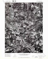
1974 Map of Medford SE
USGS Topo · Published 1979About this map
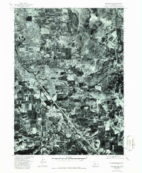
The Bear Creek Valley of southern Oregon is captured in high-detail orthophotography during the mid-1970s, showcasing the agricultural and urban patterns of the Jackson County landscape. The sheet centers on the expanding southeastern limits of Medford, where residential grids begin to meet the systematic patchwork of orchards and fields. To the south, the settlement of Phoenix sits along the primary transportation corridor that bisects the valley. This aerial perspective, derived from 1974 photography, provides a distinct visual record of land use before the intensified development of later decades, preserving the exact footprint of early suburban reach into the region’s productive agricultural floor.
Find a feature on this map
2 named features on this map. Tap any name to fly to it.
Don’t see what you’re looking for? This feature index may not catch every label — zoom into the map to look around manually.
Map Details
Editions of this 1974 Medford SE Map
2 editions found
Other maps of this area

1891 · Ashland
USGS Topo · 1:250,000

1893 · Ashland
USGS Topo · 1:250,000

1897 · Ashland
USGS Topo · 1:250,000

1938 · Medford
USGS Topo · 1:125,000

1954 · Medford
USGS Topo · 1:62,500

1954 · Lakecreek
USGS Topo · 1:62,500

1954 · Talent
USGS Topo · 1:62,500

1954 · Ashland
USGS Topo · 1:62,500

1955 · Medford
USGS Topo · 1:250,000

1957 · Medford
USGS Topo · 1:250,000