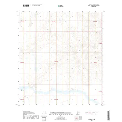
2019 Map of Medfra A-1 SE
USGS Topo · Published 2019About this map
The Tonzona River dominates the southern reaches of this landscape, its wide drainage system carving through the Yukon-Koyukuk Census Area. To the north, the topographic relief shifts into the Slow Fork Hills, where the elevation rises steadily into defined ridges and slopes. This interior Alaskan terrain is defined by its complex network of waterways, including the winding course of Dennis Cr and the Pingston Creek drainage in the southwest. A small portion of the N Fork Jones Cr also appears, illustrating the intricate hydrology that characterizes this unorganized borough. The map provides a look at the vast Public Land Survey System grid, demarcated by numerous township and range lines such as t28s r30e and t27s r30e, which overlay a territory largely shaped by glacial and fluvial processes.
Find a feature on this map
17 named features on this map. Tap any name to fly to it.
Don’t see what you’re looking for? This feature index may not catch every label — zoom into the map to look around manually.
Map Details
Editions of this 2019 Medfra A-1 SE Map
This is the sole edition of this map. No revisions or reprints were ever made.
Other maps of this area

1949 · McGrath
USGS Topo · 1:250,000

1950 · Medfra
USGS Topo · 1:250,000

1950 · McGrath
USGS Topo · 1:250,000

1950 · Talkeetna
USGS Topo · 1:250,000

1951 · Talkeetna
USGS Topo · 1:250,000

1952 · Mount McKinley
USGS Topo · 1:250,000

1958 · Talkeetna D-6
USGS Topo · 1:63,360

1958 · Talkeetna
USGS Topo · 1:250,000

1958 · Medfra A-1
USGS Topo · 1:63,360

1958 · McGrath D-1
USGS Topo · 1:63,360