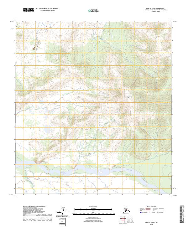
2024 Map of Medfra A-1 SE
USGS Topo · Published 2024About this map
The Slow Fork Hills dominate the central landscape of this interior Alaskan territory, where the terrain rises from the broad, braided valley of the Tonzona River. Flowing westward along the southern edge of the quadrangle, the river is fed by several smaller drainage systems including Kingston Creek and the North Fork Jones Creek. To the north, Dennis Creek cuts through the high ground, illustrating the complex hydrology of the Yukon-Koyukuk region. This map provides a detailed view of the natural relief and water systems within several townships, including t27s r30e and t28s r30e, reflecting the wilderness character of the Alaska interior in the early 21st century.
Find a feature on this map
16 named features on this map. Tap any name to fly to it.
Don’t see what you’re looking for? This feature index may not catch every label — zoom into the map to look around manually.
Map Details
Editions of this 2024 Medfra A-1 SE Map
This is the sole edition of this map. No revisions or reprints were ever made.
Other maps of this area

1949 · McGrath
USGS Topo · 1:250,000

1950 · Medfra
USGS Topo · 1:250,000

1950 · McGrath
USGS Topo · 1:250,000

1950 · Talkeetna
USGS Topo · 1:250,000

1951 · Talkeetna
USGS Topo · 1:250,000

1952 · Mount McKinley
USGS Topo · 1:250,000

1958 · Talkeetna D-6
USGS Topo · 1:63,360

1958 · Talkeetna
USGS Topo · 1:250,000

1958 · Medfra A-1
USGS Topo · 1:63,360

1958 · McGrath D-1
USGS Topo · 1:63,360