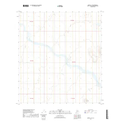
2019 Map of Medfra A-1 SW
USGS Topo · Published 2019About this map
Tonzona River dominates this interior landscape as it winds across a wide, low-lying basin in the Yukon-Koyukuk region. The water system is further defined by the N Fork Jones Cr, which drains toward the main river channel from the south. This terrain transition is anchored by the Birch Hills, a cluster of elevated features in the southeast corner that provides a stark contrast to the surrounding river flats and wetlands. Grounded in a 2009 SPOT imagery base, the map reveals a largely undeveloped wilderness where natural hydrology and subtle topographic changes dictate the character of the land, lacking any established road networks or permanent settlements.
Find a feature on this map
9 named features on this map. Tap any name to fly to it.
Don’t see what you’re looking for? This feature index may not catch every label — zoom into the map to look around manually.
Map Details
Editions of this 2019 Medfra A-1 SW Map
This is the sole edition of this map. No revisions or reprints were ever made.
Other maps of this area

1949 · McGrath
USGS Topo · 1:250,000

1950 · Medfra
USGS Topo · 1:250,000

1950 · McGrath
USGS Topo · 1:250,000

1958 · McGrath D-2
USGS Topo · 1:63,360

1958 · Medfra A-2
USGS Topo · 1:63,360

1958 · Medfra A-1
USGS Topo · 1:63,360

1958 · McGrath D-1
USGS Topo · 1:63,360

1958 · McGrath
USGS Topo · 1:250,000

1959 · Medfra
USGS Topo · 1:250,000
2017 · McGrath D-1 NE
USGS Topo · 1:25,000