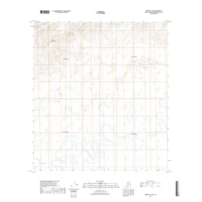
2019 Map of Medfra A-3 NW
USGS Topo · Published 2019About this map
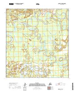
The North Fork Kuskokwim River dominates this interior landscape, winding in a complex series of meanders and oxbows across the southern half of the quadrangle. This hydraulic pattern indicates a low-gradient floodplain where the river frequently shifts its course, leaving behind the small lakes and marshy depressions visible in the terrain. In the northwest, the land rises into the Kuskokwim Mountains, where elevation contours tighten to show the transition from the river valley to higher ground. Aside from Dick McCarthy Lake in the southwest corner, the area is characterized by its lack of named human settlements or infrastructure, representing a remote portion of the Yukon-Koyukuk Census Area where the natural drainage of the North Fork Kuskokwim River is the primary geographic feature.
Find a feature on this map
7 named features on this map. Tap any name to fly to it.
Don’t see what you’re looking for? This feature index may not catch every label — zoom into the map to look around manually.
Map Details
Editions of this 2019 Medfra A-3 NW Map
This is the sole edition of this map. No revisions or reprints were ever made.
Other maps of this area

1950 · Medfra
USGS Topo · 1:250,000

1953 · Medfra B-4
USGS Topo · 1:63,360

1954 · Medfra A-3
USGS Topo · 1:63,360

1955 · Medfra B-3
USGS Topo · 1:63,360
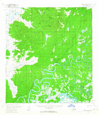
1959 · Medfra A-4
USGS Topo · 1:63,360

1959 · Medfra
USGS Topo · 1:250,000
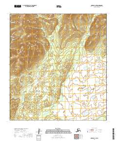
2019 · Medfra A-4 NE
USGS Topo · 1:25,000
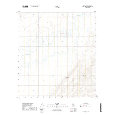
2019 · Medfra A-3 NE
USGS Topo · 1:25,000
2019 · Medfra A-4 SE
USGS Topo · 1:25,000
2019 · Medfra A-3 SW
USGS Topo · 1:25,000