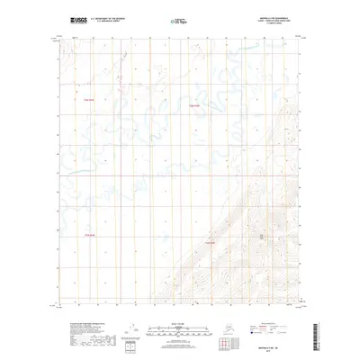
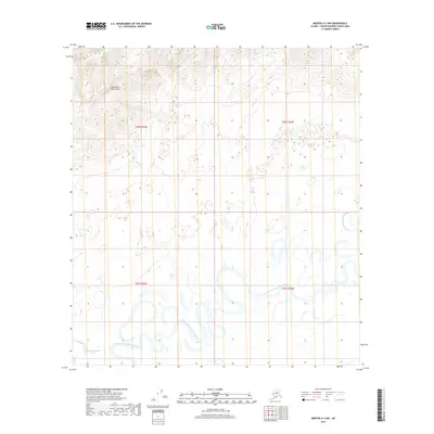
2019 Map of Medfra A-3 NE
USGS Topo · Published 2019About this map
The North Fork Kuskokwim River defines the landscape of this interior Alaska territory, where the watercourse winds through a broad, marshy basin. The river's path is marked by extreme meandering, creating numerous oxbows and abandoned channels that characterize the hydrology of the Medfra region. To the southeast, the terrain transitions from these low-lying wetlands into the East Fork Hills, where the elevation rises significantly from the river valley floor. This 2019 survey documents the natural state of the Unorganized Borough's remote wilderness, capturing the complex drainage patterns and relief before any significant human development or infrastructure was established in this specific quadrangle.
Find a feature on this map
6 named features on this map. Tap any name to fly to it.
Don’t see what you’re looking for? This feature index may not catch every label — zoom into the map to look around manually.
Map Details
Editions of this 2019 Medfra A-3 NE Map
This is the sole edition of this map. No revisions or reprints were ever made.
Other maps of this area

1950 · Medfra
USGS Topo · 1:250,000

1954 · Medfra A-3
USGS Topo · 1:63,360

1955 · Medfra B-3
USGS Topo · 1:63,360

1958 · Medfra A-2
USGS Topo · 1:63,360

1958 · Medfra B-2
USGS Topo · 1:63,360

1959 · Medfra
USGS Topo · 1:250,000
2019 · Medfra A-2 NW
USGS Topo · 1:25,000
2019 · Medfra A-3 SW
USGS Topo · 1:25,000
2019 · Medfra B-2 SW
USGS Topo · 1:25,000
2019 · Medfra A-3 NW
USGS Topo · 1:25,000