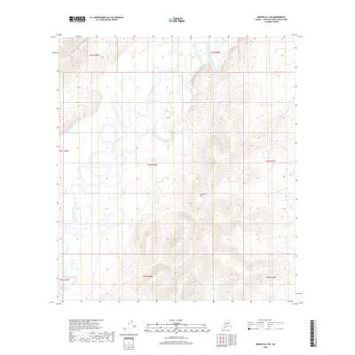
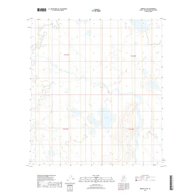
2019 Map of Medfra B-2 SW
USGS Topo · Published 2019About this map
The North Fork Kuskokwim River meanders through the heart of this interior Alaskan wilderness, defining a landscape dominated by complex fluvial patterns and alluvial floodplains. To the east, the topography rises sharply into the East Fork Hills, where the contour lines tighten to reveal the transition from riparian lowlands to upland terrain. Tributaries such as Wolverine Cr and Lake Cr feed into the primary river system, illustrating the drainage network of the Yukon-Koyukuk region. This 2019 survey, produced by the U.S. Geological Survey, provides a detailed record of watercourse placement and elevation changes in a remote section of the Unorganized Borough, where the natural hydrology remains the primary structural element of the territory.
Find a feature on this map
12 named features on this map. Tap any name to fly to it.
Don’t see what you’re looking for? This feature index may not catch every label — zoom into the map to look around manually.
Map Details
Editions of this 2019 Medfra B-2 SW Map
This is the sole edition of this map. No revisions or reprints were ever made.
Other maps of this area

1950 · Medfra
USGS Topo · 1:250,000

1954 · Medfra A-3
USGS Topo · 1:63,360

1955 · Medfra B-3
USGS Topo · 1:63,360

1958 · Medfra A-2
USGS Topo · 1:63,360

1958 · Medfra B-2
USGS Topo · 1:63,360

1959 · Medfra
USGS Topo · 1:250,000
2019 · Medfra B-3 NE
USGS Topo · 1:25,000
2019 · Medfra A-3 NE
USGS Topo · 1:25,000
2019 · Medfra A-2 NW
USGS Topo · 1:25,000
2019 · Medfra A-2 NE
USGS Topo · 1:25,000