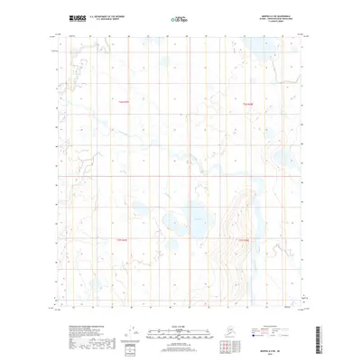
2019 Map of Medfra A-2 NE
USGS Topo · Published 2019About this map
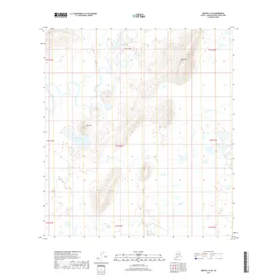
The Slow Fork and the winding Tonzona River define this interior Alaskan landscape, which remains largely dominated by its natural hydrography. The map documents a complex system of drainage in the Yukon-Koyukuk Census Area, where smaller tributaries like Ekolina Cr and Dennis Cr feed into the larger river systems. The most prominent still-water feature is Lake Hoyle, situated in the southern half of the quadrangle. The terrain is marked by significant topographical relief, particularly in the southeast, contrasting with the flatter, wetland-heavy basins near the river forks. This survey provides a baseline of the regional water systems and public land survey boundaries, including t26s r27e and t27s r28e, in an area devoid of modern road infrastructure or permanent settlements.
Find a feature on this map
9 named features on this map. Tap any name to fly to it.
Don’t see what you’re looking for? This feature index may not catch every label — zoom into the map to look around manually.
Map Details
Editions of this 2019 Medfra A-2 NE Map
This is the sole edition of this map. No revisions or reprints were ever made.
Other maps of this area

1950 · Medfra
USGS Topo · 1:250,000

1958 · Medfra A-2
USGS Topo · 1:63,360

1958 · Medfra B-2
USGS Topo · 1:63,360

1958 · Medfra A-1
USGS Topo · 1:63,360

1958 · Medfra B-1
USGS Topo · 1:63,360

1959 · Medfra
USGS Topo · 1:250,000
2019 · Medfra A-2 NW
USGS Topo · 1:25,000
2019 · Medfra A-1 SW
USGS Topo · 1:25,000
2019 · Medfra B-2 SW
USGS Topo · 1:25,000
2019 · Medfra A-2 SW
USGS Topo · 1:25,000