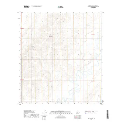
2019 Map of Medfra A-2 NW
USGS Topo · Published 2019About this map
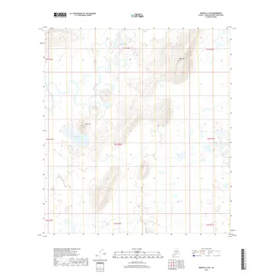
The East Fork Kuskokwim River meanders across the southern half of this interior Alaskan landscape, defining a broad floodplain characterized by complex oxbows and shifting channels. To the north, the terrain rises steadily into the East Fork Hills, where elevations climb toward ridges that separate the primary drainage from the northern watersheds. The hydrological network is further defined by the Slow Fork Tonzona River and its tributary Slow Fork in the northeast, while Ekolina Cr enters from the east. This 2019 survey documents a wilderness area devoid of permanent roads or settlements, highlighting the natural drainage patterns and topographical relief within the Unorganized Borough. The map provides precise documentation of the Public Land Survey System township boundaries, including t26s r26e and t27s r26e, which are essential for identifying land tracts in this remote interior region.
Find a feature on this map
11 named features on this map. Tap any name to fly to it.
Don’t see what you’re looking for? This feature index may not catch every label — zoom into the map to look around manually.
Map Details
Editions of this 2019 Medfra A-2 NW Map
This is the sole edition of this map. No revisions or reprints were ever made.
Other maps of this area

1950 · Medfra
USGS Topo · 1:250,000

1954 · Medfra A-3
USGS Topo · 1:63,360

1955 · Medfra B-3
USGS Topo · 1:63,360

1958 · Medfra A-2
USGS Topo · 1:63,360

1958 · Medfra B-2
USGS Topo · 1:63,360

1959 · Medfra
USGS Topo · 1:250,000
2019 · Medfra A-3 NE
USGS Topo · 1:25,000
2019 · Medfra B-2 SW
USGS Topo · 1:25,000
2019 · Medfra A-3 SE
USGS Topo · 1:25,000
2019 · Medfra A-2 SW
USGS Topo · 1:25,000