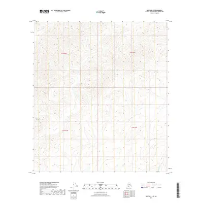
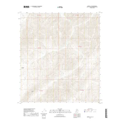
2019 Map of Medfra B-3 NE
USGS Topo · Published 2019About this map
Oroville and the confluence of the Feather River's three forks define this region of Butte and Yuba Counties as it appeared in 1912. This map captures a transitional landscape where the Sacramento Valley meets the Kuskokwim Mountains foothills. Infrastructure development is evident through the routes of the Southern Pacific R R, the Northern Electric R R, and the surveyed path of the Oroville & Beckwourth R R (Surveyed). Settlement patterns are well-documented, showing the growth of Oroville and Palermo, alongside smaller communities like Villa Verde and Honcut. Rural life is marked by numerous educational sites, including Honcut Sch, Mesilla Valley Sch, and Central House Sch. Historic river crossings like the Bidwell Bar Bridge at Bidwell Bar provide vital context for researchers tracing early California transit and gold-era settlements.
Find a feature on this map
9 named features on this map. Tap any name to fly to it.
Don’t see what you’re looking for? This feature index may not catch every label — zoom into the map to look around manually.
Map Details
Editions of this 2019 Medfra B-3 NE Map
This is the sole edition of this map. No revisions or reprints were ever made.
Other maps of this area

1950 · Medfra
USGS Topo · 1:250,000

1954 · Medfra C-3
USGS Topo · 1:63,360

1955 · Medfra B-3
USGS Topo · 1:63,360

1958 · Medfra C-2
USGS Topo · 1:63,360

1958 · Medfra B-2
USGS Topo · 1:63,360

1959 · Medfra
USGS Topo · 1:250,000
2019 · Medfra B-2 SW
USGS Topo · 1:25,000
2019 · Medfra B-3 SW
USGS Topo · 1:25,000
2019 · Medfra C-3 SW
USGS Topo · 1:25,000
2019 · Medfra C-3 SE
USGS Topo · 1:25,000