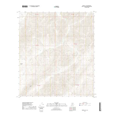
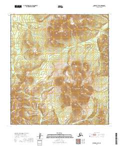
2019 Map of Medfra C-3 SE
USGS Topo · Published 2019About this map
Kuskokwim Mountains terrain dominates this portion of the Alaska interior, characterized by a complex network of high ridges and narrow creek valleys. The drainage system is defined by White Mountain Cr, which meanders through the central sections of the survey area, joined by Shepherd Cr and Soda Cr as they cut through the elevation. The most prominent topographic feature is Whirlwind Ridge in the southwest, rising sharply above the surrounding drainages. This 2019 survey, compiled from National Hydrography and Elevation Datasets, provides a precise record of the uninhabited wilderness within the t21s r24e and t22s r25e townships, where the landscape remains shaped entirely by natural watercourses and significant relief.
Find a feature on this map
11 named features on this map. Tap any name to fly to it.
Don’t see what you’re looking for? This feature index may not catch every label — zoom into the map to look around manually.
Map Details
Editions of this 2019 Medfra C-3 SE Map
This is the sole edition of this map. No revisions or reprints were ever made.
Other maps of this area

1950 · Medfra
USGS Topo · 1:250,000

1954 · Medfra C-3
USGS Topo · 1:63,360

1955 · Medfra B-3
USGS Topo · 1:63,360

1958 · Medfra C-2
USGS Topo · 1:63,360

1958 · Medfra B-2
USGS Topo · 1:63,360

1959 · Medfra
USGS Topo · 1:250,000
2019 · Medfra C-2 NW
USGS Topo · 1:25,000
2019 · Medfra B-3 NE
USGS Topo · 1:25,000
2019 · Medfra C-3 NW
USGS Topo · 1:25,000
2019 · Medfra C-3 SW
USGS Topo · 1:25,000