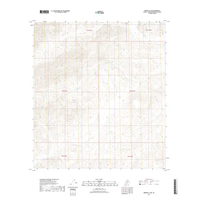
2019 Map of Medfra B-3 SW
USGS Topo · Published 2019About this map
Scow Harry Cr winds through the interior drainage systems of this Alaskan landscape, defining the local hydrology of the Yukon-Koyukuk region. The map reveals the intricate topographic relief of the Kuskokwim Mountains, where the drainage pattern of Scow Harry Cr and its tributaries dictates the natural corridors through the high ridges. In the northeast corner, the headwaters of Soda Cr emerge, highlighting the divide between local watersheds. This 2019 survey documents a wilderness area defined by its lack of human infrastructure, focusing instead on the complex elevation contours and township boundaries like t25s r23e that organize this expanse of the Unorganized Borough. It is a specialized study of remote terrain, where the names of watercourses provide the only navigational landmarks.
Find a feature on this map
8 named features on this map. Tap any name to fly to it.
Don’t see what you’re looking for? This feature index may not catch every label — zoom into the map to look around manually.
Map Details
Editions of this 2019 Medfra B-3 SW Map
This is the sole edition of this map. No revisions or reprints were ever made.
Other maps of this area

1950 · Medfra
USGS Topo · 1:250,000

1953 · Medfra B-4
USGS Topo · 1:63,360

1954 · Medfra A-3
USGS Topo · 1:63,360

1955 · Medfra B-3
USGS Topo · 1:63,360
1959 · Medfra A-4
USGS Topo · 1:63,360

1959 · Medfra
USGS Topo · 1:250,000
2019 · Medfra B-3 NE
USGS Topo · 1:25,000
2019 · Medfra A-4 NE
USGS Topo · 1:25,000
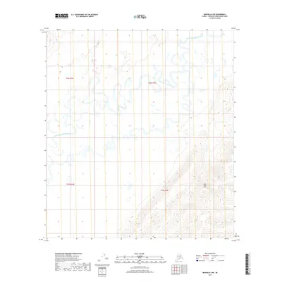
2019 · Medfra A-3 NE
USGS Topo · 1:25,000
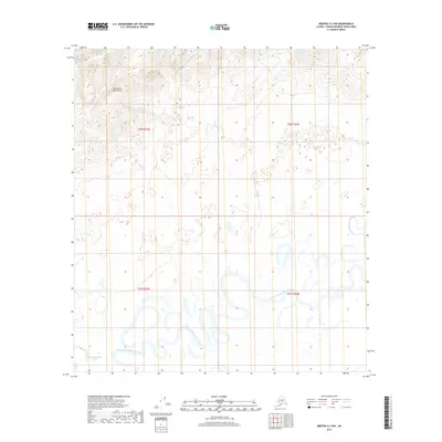
2019 · Medfra A-3 NW
USGS Topo · 1:25,000