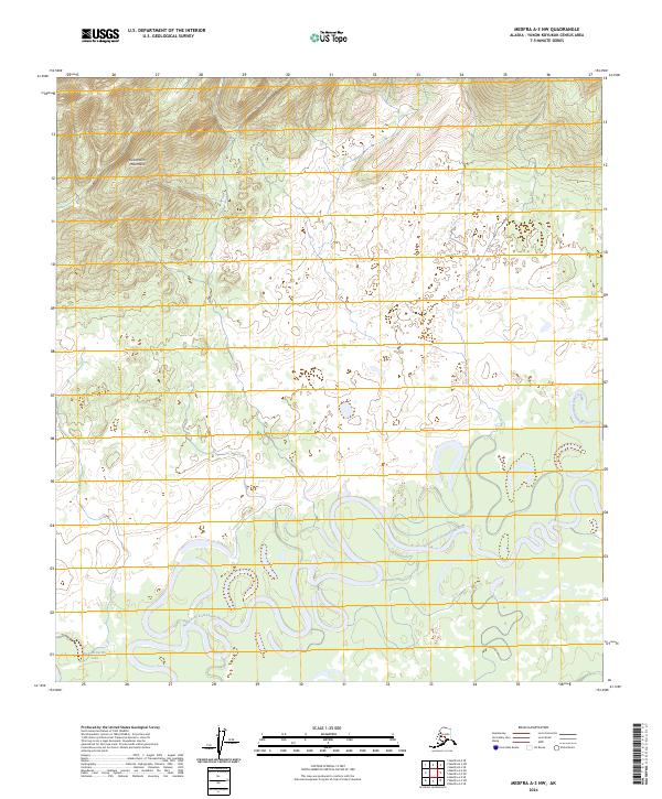
2024 Map of Medfra A-3 NW
USGS Topo · Published 2024About this map
North Fork Kuskokwim River meanders extensively through this interior Alaskan wilderness, forming a complex network of oxbows and sloughs that dominate the lower elevations. The terrain is defined by the steep southern slopes of the Kuskokwim Mountains, which rise sharply in the northern portion of the map. This area, largely untouched by permanent settlement or infrastructure, illustrates the dynamic nature of subarctic fluvial systems where the river constantly reshapes the valley floor. Near the southern boundary, Dick McCarthy Lake sits as a prominent landmark within the marshy lowlands, surrounded by a dense mosaic of wetlands typical of the Yukon-Koyukuk region. The absence of roads or established trails highlights the isolation of this landscape, reachable primarily by the water ways that have served as the region's historical corridors.
Find a feature on this map
7 named features on this map. Tap any name to fly to it.
Don’t see what you’re looking for? This feature index may not catch every label — zoom into the map to look around manually.
Map Details
Editions of this 2024 Medfra A-3 NW Map
This is the sole edition of this map. No revisions or reprints were ever made.
Other maps of this area

1950 · Medfra
USGS Topo · 1:250,000

1953 · Medfra B-4
USGS Topo · 1:63,360

1954 · Medfra A-3
USGS Topo · 1:63,360

1955 · Medfra B-3
USGS Topo · 1:63,360
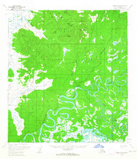
1959 · Medfra A-4
USGS Topo · 1:63,360

1959 · Medfra
USGS Topo · 1:250,000
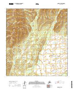
2019 · Medfra A-4 NE
USGS Topo · 1:25,000
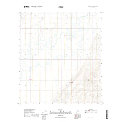
2019 · Medfra A-3 NE
USGS Topo · 1:25,000
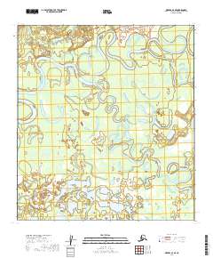
2019 · Medfra A-4 SE
USGS Topo · 1:25,000
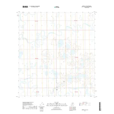
2019 · Medfra A-3 SW
USGS Topo · 1:25,000