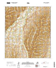
2019 Map of Medfra C-4 NW
USGS Topo · Published 2019About this map
The Nowitna River meanders through the northern reaches of this Alaskan interior landscape, a region defined by its intricate drainage networks and subtle elevation changes. The waterway is joined by Clearwater Cr, which flows northward across the central portion of the map, and Fire Cr in the southeast corner. These drainages represent the primary geographic markers in a wilderness area that remains largely undeveloped, showcasing the natural hydrological patterns of the Yukon-Koyukuk region as they appeared in 2019. The mapping reflects the administrative divisions of the Public Land Survey System, specifically across t20s r20e, t20s r21e, t21s r20e, and t21s r21e, providing a precise reference for land management and environmental study in this part of the Alaskan interior.
Find a feature on this map
7 named features on this map. Tap any name to fly to it.
Don’t see what you’re looking for? This feature index may not catch every label — zoom into the map to look around manually.
Map Details
Editions of this 2019 Medfra C-4 NW Map
This is the sole edition of this map. No revisions or reprints were ever made.
Other maps of this area

1950 · Medfra
USGS Topo · 1:250,000

1953 · Medfra C-4
USGS Topo · 1:63,360

1954 · Medfra C-5
USGS Topo · 1:63,360

1954 · Medfra D-5
USGS Topo · 1:63,360
1954 · Medfra D-4
USGS Topo · 1:63,360

1959 · Medfra
USGS Topo · 1:250,000
2019 · Medfra D-4 SE
USGS Topo · 1:25,000
2019 · Medfra C-4 SE
USGS Topo · 1:25,000
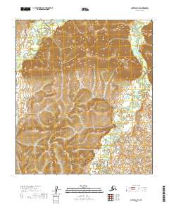
2019 · Medfra D-4 SW
USGS Topo · 1:25,000
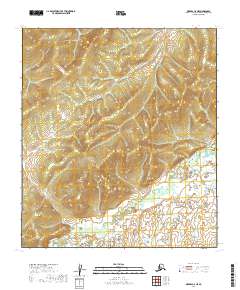
2019 · Medfra C-5 NE
USGS Topo · 1:25,000