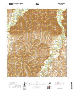
2019 Map of Medfra D-4 SW
USGS Topo · Published 2019About this map
The Nowitna River meanders through this interior Alaskan wilderness, forming complex oxbows and marshy lowlands in the eastern portion of the quadrangle. This 2019 survey by the U.S. Geological Survey illustrates a landscape defined by water and topographic relief rather than human infrastructure, as no roads or settlements are recorded. The western edge is marked by the Susulatna River, while Meadow Cr drains the northeastern corner. These river systems represent the primary geographic orientation for the region, reflecting the natural drainage patterns of the Yukon-Koyukuk Census Area. The map provides a detailed view of the terrain within several townships, including t19s r20e and t20s r21e, showcasing the transition between high ridges and river valleys.
Find a feature on this map
7 named features on this map. Tap any name to fly to it.
Don’t see what you’re looking for? This feature index may not catch every label — zoom into the map to look around manually.
Map Details
Editions of this 2019 Medfra D-4 SW Map
This is the sole edition of this map. No revisions or reprints were ever made.
Other maps of this area

1950 · Medfra
USGS Topo · 1:250,000

1953 · Medfra C-4
USGS Topo · 1:63,360

1954 · Medfra C-5
USGS Topo · 1:63,360

1954 · Medfra D-5
USGS Topo · 1:63,360
1954 · Medfra D-4
USGS Topo · 1:63,360

1959 · Medfra
USGS Topo · 1:250,000
2019 · Medfra D-4 SE
USGS Topo · 1:25,000
2019 · Medfra D-4 NW
USGS Topo · 1:25,000
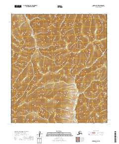
2019 · Medfra D-5 NE
USGS Topo · 1:25,000
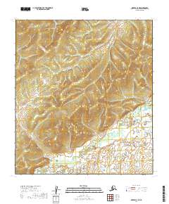
2019 · Medfra C-5 NE
USGS Topo · 1:25,000