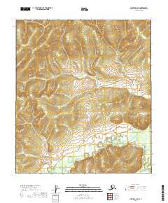
2019 Map of Medfra D-4 NW
USGS Topo · Published 2019About this map
Susulatna River and the Nowitna River meander through the southern reaches of this interior Alaskan landscape, defining the hydrology of the Medfra D-4 NW quadrangle. The terrain is characterized by a dense network of watercourses, where the higher elevations in the north are drained by Moose Cr and Sunrise Cr. These smaller tributaries give way to the more substantial flow of Pilot Cr, which winds centrally across the township lines of T17S R20E and T18S R21E. This 2019 survey documents a wilderness environment shaped by seasonal water movement and significant relief, providing a detailed look at the drainage patterns before these waters join the larger regional river systems.
Find a feature on this map
11 named features on this map. Tap any name to fly to it.
Don’t see what you’re looking for? This feature index may not catch every label — zoom into the map to look around manually.
Map Details
Editions of this 2019 Medfra D-4 NW Map
This is the sole edition of this map. No revisions or reprints were ever made.
Other maps of this area

1950 · Medfra
USGS Topo · 1:250,000

1951 · Ruby
USGS Topo · 1:250,000

1952 · Ruby A-4
USGS Topo · 1:63,360

1952 · Ruby A-5
USGS Topo · 1:63,360

1952 · Ruby
USGS Topo · 1:250,000

1954 · Medfra D-5
USGS Topo · 1:63,360
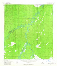
1954 · Medfra D-4
USGS Topo · 1:63,360

1959 · Medfra
USGS Topo · 1:250,000

1964 · Ruby
USGS Topo · 1:250,000
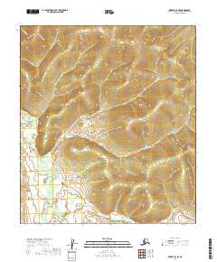
2019 · Medfra D-4 SE
USGS Topo · 1:25,000