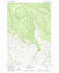
1965 Map of Medical Springs
USGS Topo · Published 1985About this map
Medical Springs serves as a focal point for this high-country landscape in the mid-1960s, situated where the terrain transitions from the timbered heights of the Whitman National Forest into the creek valleys below. The small settlement of Pondosa and the locality of Wisdom are linked by a network of unimproved roads and trails, including Beagle Creek Road, which follows the drainage of Beagle Creek. This area is defined by its complex hydrology, with numerous water sources like Thorn Spring, Black Pine Spring, and Fisk Reservoir supporting the local ecosystem and any small-scale industry.
Find a feature on this map
37 named features on this map. Tap any name to fly to it.
Don’t see what you’re looking for? This feature index may not catch every label — zoom into the map to look around manually.
Map Details
Editions of this 1965 Medical Springs Map
2 editions found
Other maps of this area

1901 · Baker City
USGS Topo · 1:125,000

1906 · Telocaset
USGS Topo · 1:125,000

1955 · Baker
USGS Topo · 1:250,000

1955 · Grangeville
USGS Topo · 1:250,000

1959 · Baker
USGS Topo · 1:250,000

1959 · Grangeville
USGS Topo · 1:250,000

1965 · China Cap
USGS Topo · 1:24,000

1965 · Flagstaff Butte
USGS Topo · 1:24,000

1965 · Union
USGS Topo · 1:24,000

1965 · Medical Springs
USGS Topo · 1:24,000