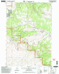
1993 Map of Medicine Wheel
USGS Topo · Published 1997About this map
Medicine Wheel National Historic Landmark sits atop the high ridges of the Bighorn National Forest, representing a significant archaeological and sacred site. The 1993 field check shows the area's complex drainage systems, where Porcupine Creek and Five Springs Creek carve through the high-altitude terrain. The presence of modern infrastructure, such as the FAA Radio Tower and multiple runaway truck ramps along the steep mountain grades, contrasts with the primitive Use Trail and the isolated Cow Camp. This landscape is defined by its extreme elevations, stretching from the peak of Medicine Mountain down to the basins of Crystal Creek. The inclusion of landmarks like Porcupine Falls and Petes Hole highlights the diverse hydrological features that have historically supported grazing and seasonal encampments in these Wyoming highlands.
Find a feature on this map
25 named features on this map. Tap any name to fly to it.
Don’t see what you’re looking for? This feature index may not catch every label — zoom into the map to look around manually.
Map Details
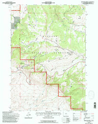
Editions of this 1993 Medicine Wheel Map
2 editions found
Other maps of this area

1898 · Bald Mountain
USGS Topo · 1:125,000

1901 · Bald Mountain
USGS Topo · 1:125,000

1955 · Cody
USGS Topo · 1:250,000

1955 · Sheridan
USGS Topo · 1:250,000

1958 · Cody
USGS Topo · 1:250,000

1958 · Sheridan
USGS Topo · 1:250,000

1960 · Medicine Wheel
USGS Topo · 1:24,000

1960 · Boyd Ridge
USGS Topo · 1:24,000

1960 · Mexican Hill
USGS Topo · 1:24,000

1960 · Bear Creek Ranch
USGS Topo · 1:24,000