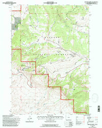
1993 Map of Medicine Wheel
USGS Topo · Published 1997About this map
Medicine Wheel National Historic Landmark sits as the central high-altitude focus of this 1993 study of the Bighorn National Forest. The landscape is defined by its extreme elevation changes and specialized infrastructure, including a series of runaway truck ramps and a truck runaway ramp situated along the steep descent routes. These safety features, alongside the FAA Radio Tower F. S. Radio atop Medicine Mountain, indicate the intersection of traditional land use and modern transit requirements in this high-country environment.
Find a feature on this map
37 named features on this map. Tap any name to fly to it.
Don’t see what you’re looking for? This feature index may not catch every label — zoom into the map to look around manually.
Map Details
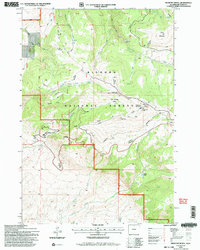
Editions of this 1993 Medicine Wheel Map
2 editions found
Other maps of this area

1898 · Bald Mountain
USGS Topo · 1:125,000

1901 · Bald Mountain
USGS Topo · 1:125,000

1955 · Cody
USGS Topo · 1:250,000

1955 · Sheridan
USGS Topo · 1:250,000

1958 · Cody
USGS Topo · 1:250,000

1958 · Sheridan
USGS Topo · 1:250,000

1960 · Medicine Wheel
USGS Topo · 1:24,000

1960 · Boyd Ridge
USGS Topo · 1:24,000

1960 · Mexican Hill
USGS Topo · 1:24,000

1960 · Bear Creek Ranch
USGS Topo · 1:24,000