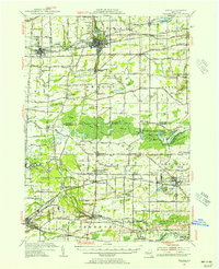
1950 Map of Medina
USGS Topo · Published 1956About this map
The Erie Canal anchors this mid-century landscape, threading through the commercial centers of Medina and Middleport. In the northern half of the sheet, the canal serves as a primary corridor for transportation and settlement, flanked by a dense network of numbered schools such as School No 5 and cemeteries like Boxwood Cem. South of these canal towns, the land transitions into the expansive Oak Orchard Swamp, where conservation efforts are visible at the Oak Orchard Creek State Game Refuge and the White Memorial State Game Farm.
Find a feature on this map
107 named features on this map. Tap any name to fly to it.
Don’t see what you’re looking for? This feature index may not catch every label — zoom into the map to look around manually.
Map Details
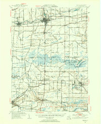
Editions of this 1950 Medina Map
2 editions found
Other maps of this area

1897 · Albion
USGS Topo · 1:62,500

1897 · Olcott
USGS Topo · 1:62,500

1897 · Medina
USGS Topo · 1:62,500

1897 · Lockport
USGS Topo · 1:62,500

1897 · Oak Orchard
USGS Topo · 1:62,500

1897 · Ridgeway
USGS Topo · 1:62,500

1899 · Niagara
USGS Topo · 1:125,000

1902 · Lockport
USGS Topo · 1:62,500

1904 · Batavia
USGS Topo · 1:62,500

1905 · Attica
USGS Topo · 1:62,500