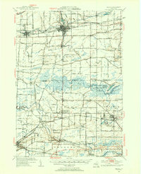
1950 Map of Medina
USGS Topo · Published 1956About this map
The Erie Canal cuts through the northern portion of this landscape, supporting established canal-side communities like Middleport, Shelby Basin, and the village of Medina. This waterway, shadowed by the New York Central Railroad and Knowlesville Station, reflects the era's critical transportation corridor between Buffalo and Rochester. To the south, the terrain shifts dramatically into the Oak Orchard Swamp, a massive wetland that includes the State Game Refuge and the Upper Stafford Marsh, indicating the area's significance for conservation and water management mid-century.
Find a feature on this map
115 named features on this map. Tap any name to fly to it.
Don’t see what you’re looking for? This feature index may not catch every label — zoom into the map to look around manually.
Map Details
Editions of this 1950 Medina Map
2 editions found
Other maps of this area

1897 · Albion
USGS Topo · 1:62,500

1897 · Olcott
USGS Topo · 1:62,500

1897 · Medina
USGS Topo · 1:62,500

1897 · Lockport
USGS Topo · 1:62,500

1897 · Oak Orchard
USGS Topo · 1:62,500

1897 · Ridgeway
USGS Topo · 1:62,500

1899 · Niagara
USGS Topo · 1:125,000

1902 · Lockport
USGS Topo · 1:62,500

1904 · Batavia
USGS Topo · 1:62,500

1905 · Attica
USGS Topo · 1:62,500