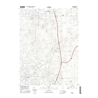
2016 Map of Medina
USGS Topo · Published 2016About this map
Medina and Brunswick anchor this detailed 2016 survey, showcasing a landscape where suburban expansion meets well-preserved local history. The township is dotted with significant burial grounds, including the Old Medina Cem and the Spring Grove Cem, which offer essential records for genealogical research. Smaller crossroads like Weymouth, Sherman Corners, and Windfall persist as historic nodes amid newer developments. The drainage of the West Branch Rocky River and the North Branch West Branch Rocky River defines the natural geography, with Lake Medina and Lake Brunswick serving as prominent water features. Transportation and recreation are represented by the Medina Municipal Airport and a network of trails such as the Reagan Park Trail, illustrating the modern balance of municipal infrastructure and public greenspace.
Find a feature on this map
247 named features on this map. Tap any name to fly to it.
Don’t see what you’re looking for? This feature index may not catch every label — zoom into the map to look around manually.
Map Details
Editions of this 2016 Medina Map
This is the sole edition of this map. No revisions or reprints were ever made.
Other maps of this area

1902 · Berea
USGS Topo · 1:62,500

1903 · Cleveland
USGS Topo · 1:62,500

1903 · Akron
USGS Topo · 1:62,500

1904 · Berea
USGS Topo · 1:62,500

1904 · Medina
USGS Topo · 1:62,500

1905 · Akron
USGS Topo · 1:62,500

1906 · Medina
USGS Topo · 1:62,500

1950 · Cleveland
USGS Topo · 1:250,000

1953 · West View
USGS Topo · 1:24,000

1953 · Broadview Heights
USGS Topo · 1:24,000