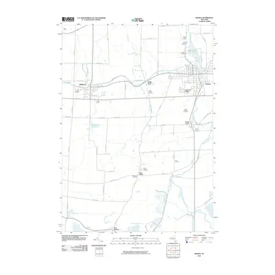
2010 Map of Medina
USGS Topo · Published 2010About this map
The Erie Canal anchors the northern landscape of this Orleans and Niagara County border region, tracing a path through the historic canal towns of Middleport and Shelby Basin. This 2010 survey illustrates the area’s enduring agricultural and waterway-driven character, where Oak Orchard Creek winds northward past Shelby Center toward Glenwood Lake and the village of Medina. The map is particularly dense with genealogical sites, showing numerous established burial grounds such as Saint Marys, Boxwood Cemetery, and Sacred Heart Cemetery clustered north of the village center.
Find a feature on this map
62 named features on this map. Tap any name to fly to it.
Don’t see what you’re looking for? This feature index may not catch every label — zoom into the map to look around manually.
Map Details
Editions of this 2010 Medina Map
This is the sole edition of this map. No revisions or reprints were ever made.
Other maps of this area

1897 · Olcott
USGS Topo · 1:62,500

1897 · Medina
USGS Topo · 1:62,500

1897 · Lockport
USGS Topo · 1:62,500

1897 · Ridgeway
USGS Topo · 1:62,500

1899 · Niagara
USGS Topo · 1:125,000

1902 · Lockport
USGS Topo · 1:62,500

1905 · Lockport
USGS Topo · 1:62,500

1944 · Ashwood
USGS Topo · 1:31,680

1948 · Lockport
USGS Topo · 1:62,500

1948 · Olcott
USGS Topo · 1:62,500