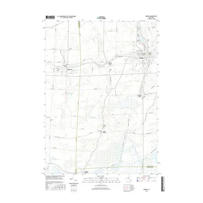
2016 Map of Medina
USGS Topo · Published 2016About this map
The Erie Canal forms a central industrial corridor through this landscape, flanked by the villages of Medina and Middleport. Several historic crossings, including the Erie Canal Bridge, Glenwood Avenue Bridge, and Marshall Road Bridge, highlight the waterway's role in local transit and infrastructure. North of the canal, Glenwood Lake and Mill Pond serve as prominent water bodies near the developed centers.
Find a feature on this map
57 named features on this map. Tap any name to fly to it.
Don’t see what you’re looking for? This feature index may not catch every label — zoom into the map to look around manually.
Map Details
Editions of this 2016 Medina Map
This is the sole edition of this map. No revisions or reprints were ever made.
Other maps of this area

1897 · Olcott
USGS Topo · 1:62,500

1897 · Medina
USGS Topo · 1:62,500

1897 · Lockport
USGS Topo · 1:62,500

1897 · Ridgeway
USGS Topo · 1:62,500

1899 · Niagara
USGS Topo · 1:125,000

1902 · Lockport
USGS Topo · 1:62,500

1905 · Lockport
USGS Topo · 1:62,500

1944 · Ashwood
USGS Topo · 1:31,680

1948 · Lockport
USGS Topo · 1:62,500

1948 · Olcott
USGS Topo · 1:62,500