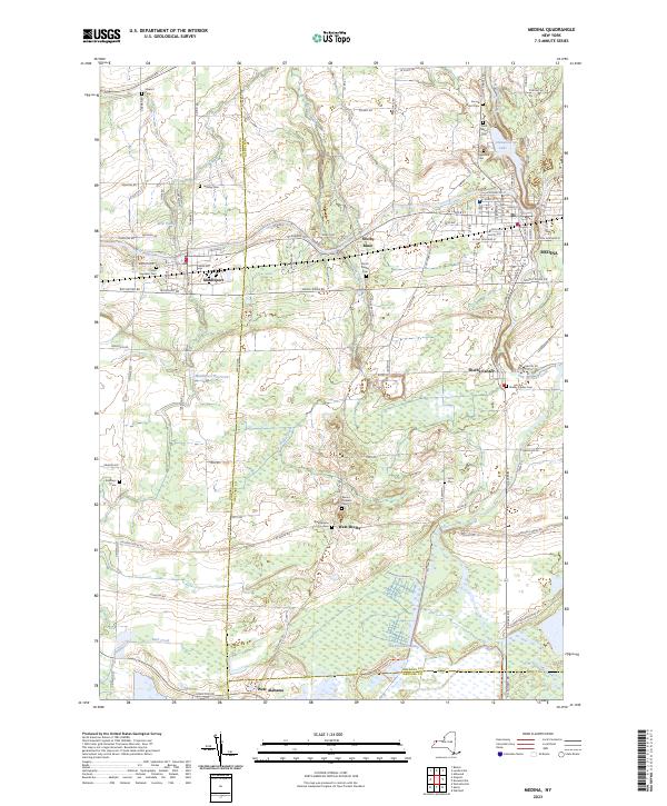
2023 Map of Medina
USGS Topo · Published 2023About this map
The Erie Canal forms the defining industrial and transport corridor of this Western New York landscape, cutting through Middleport and the small settlement at Shelby Basin. This 2023 survey illustrates the enduring relationship between these canal towns and the surrounding agricultural lands. Numerous family and community burial grounds, including Boxwood Cem, Sacred Heart Cem, and the Mount Pleasant Cem, provide essential data points for local genealogy across Orleans and Niagara counties. To the south, the terrain shifts into the significant wetlands of the Oak Orchard Swamp, where Jeddo Creek and Oak Orchard Creek drain the low-lying basin. The presence of Glenwood Lake and the Middleport Reservoir further highlights the managed water systems that have supported both regional industry and residential growth since the early canal era.
Find a feature on this map
113 named features on this map. Tap any name to fly to it.
Don’t see what you’re looking for? This feature index may not catch every label — zoom into the map to look around manually.
Map Details
Editions of this 2023 Medina Map
This is the sole edition of this map. No revisions or reprints were ever made.
Other maps of this area

1897 · Olcott
USGS Topo · 1:62,500

1897 · Medina
USGS Topo · 1:62,500

1897 · Lockport
USGS Topo · 1:62,500

1897 · Ridgeway
USGS Topo · 1:62,500

1899 · Niagara
USGS Topo · 1:125,000

1902 · Lockport
USGS Topo · 1:62,500

1905 · Lockport
USGS Topo · 1:62,500

1944 · Ashwood
USGS Topo · 1:31,680

1948 · Lockport
USGS Topo · 1:62,500

1948 · Olcott
USGS Topo · 1:62,500