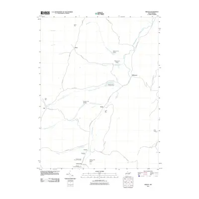
2011 Map of Medley
USGS Topo · Published 2011About this map
Patterson Creek and its many branches form the central drainage system of this Grant County landscape, winding through a series of gaps and hollows. The rural character of the region is anchored by small settlements like Lahmansville and Medley, each maintaining its own identity with dedicated facilities such as the Lahmansville Post Office and the Medley Post Office. The map reveals a complex water management system featuring numerous flood control structures, including the Patterson Creek Structure 41 Dam and Patterson Creek Structure 12 Dam, which sit among the agricultural valleys.
Find a feature on this map
37 named features on this map. Tap any name to fly to it.
Don’t see what you’re looking for? This feature index may not catch every label — zoom into the map to look around manually.
Map Details
Editions of this 2011 Medley Map
This is the sole edition of this map. No revisions or reprints were ever made.
Other maps of this area

1891 · Romney
USGS Topo · 1:125,000

1895 · Piedmont
USGS Topo · 1:125,000

1919 · Elk Garden
USGS Topo · 1:48,000

1920 · Elk Garden
USGS Topo · 1:48,000

1920 · Moorefield
USGS Topo · 1:62,500

1920 · Keyser
USGS Topo · 1:62,500

1921 · Keyser
USGS Topo · 1:48,000

1921 · Greenland Gap
USGS Topo · 1:62,500

1921 · Moorefield
USGS Topo · 1:48,000

1922 · Elk Garden
USGS Topo · 1:62,500