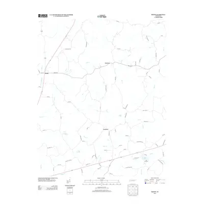
2013 Map of Medon
USGS Topo · Published 2013About this map
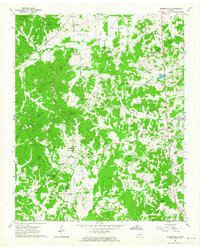
Chickasaw State Park dominates the southern landscape of this West Tennessee quadrangle, where recreational areas like Lake Placid and the Lake Placid Camp are central features. The topography is defined by a dense network of watercourses, including Lacy Cr and Bear Cr, which drain the undulating terrain surrounding the established settlements of Medon, Parkburg, and Deanburg.
Find a feature on this map
77 named features on this map. Tap any name to fly to it.
Don’t see what you’re looking for? This feature index may not catch every label — zoom into the map to look around manually.
Map Details
Editions of this 2013 Medon Map
This is the sole edition of this map. No revisions or reprints were ever made.
Other maps of this area

1950 · Jackson South
USGS Topo · 1:24,000

1953 · Beech Bluff
USGS Topo · 1:24,000

1956 · Blytheville
USGS Topo · 1:250,000

1959 · Blytheville
USGS Topo · 1:250,000

1959 · Westover
USGS Topo · 1:24,000

1961 · Medon
USGS Topo · 1:24,000
1961 · Silerton
USGS Topo · 1:24,000
1961 · Bolivar East
USGS Topo · 1:24,000
1961 · Henderson
USGS Topo · 1:24,000
1961 · Masseyville
USGS Topo · 1:24,000