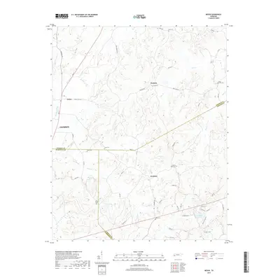
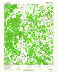
2019 Map of Medon
USGS Topo · Published 2019About this map
The boundary between Madison, Hardeman, and Chester Counties defines this section of West Tennessee, where small settlements like Medon and Parkburg anchor a landscape of creek bottoms and family cemeteries. The topography is shaped by the drainage of Bear Cr and Clover Cr, with numerous local water bodies such as Ben Henry Lake and Scott Lake providing distinct landmarks.
Find a feature on this map
60 named features on this map. Tap any name to fly to it.
Don’t see what you’re looking for? This feature index may not catch every label — zoom into the map to look around manually.
Map Details
Editions of this 2019 Medon Map
This is the sole edition of this map. No revisions or reprints were ever made.
Other maps of this area

1950 · Jackson South
USGS Topo · 1:24,000

1953 · Beech Bluff
USGS Topo · 1:24,000

1956 · Blytheville
USGS Topo · 1:250,000

1959 · Blytheville
USGS Topo · 1:250,000

1959 · Westover
USGS Topo · 1:24,000

1961 · Medon
USGS Topo · 1:24,000
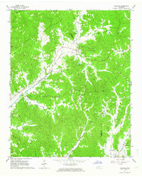
1961 · Silerton
USGS Topo · 1:24,000
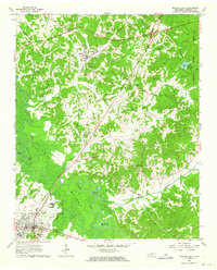
1961 · Bolivar East
USGS Topo · 1:24,000
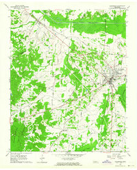
1961 · Henderson
USGS Topo · 1:24,000
1961 · Masseyville
USGS Topo · 1:24,000