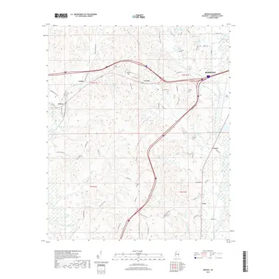
2018 Map of Meehan
USGS Topo · Published 2018About this map
Meridian anchors the northeast corner of this West Mississippi landscape, where the urban edge of the city gives way to a network of rural communities and rolling terrain. The area is defined by its topographic high points like Tunnel Hill and numerous watercourses, including the Chunky River and Okatibbee Creek. Historical interest is found in the scattered settlements of Lost Gap, Graham, and Savoy, each connected by a winding road system that includes the path of Old Hwy 80 W.
Find a feature on this map
68 named features on this map. Tap any name to fly to it.
Don’t see what you’re looking for? This feature index may not catch every label — zoom into the map to look around manually.
Map Details
Editions of this 2018 Meehan Map
This is the sole edition of this map. No revisions or reprints were ever made.
Other maps of this area

1921 · Meridian
USGS Topo · 1:48,000

1923 · Meridian
USGS Topo · 1:62,500

1953 · Meridian
USGS Topo · 1:250,000

1957 · Meridian
USGS Topo · 1:250,000

1957 · Chunky
USGS Topo · 1:62,500

1957 · Quitman
USGS Topo · 1:62,500

1957 · Enterprise
USGS Topo · 1:62,500

1965 · Meridian
USGS Topo · 1:250,000

1971 · Meridian South
USGS Topo · 1:24,000

1971 · Meridian North
USGS Topo · 1:24,000