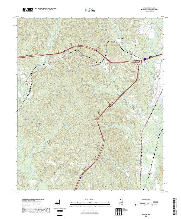
2024 Map of Meehan
USGS Topo · Published 2024About this map
Fairchild Springs and the headwaters of Burwell Creek define the upland terrain west of the Meridian city limits. This region of Lauderdale County is characterized by numerous small settlements and family landmarks, including the historic railroad-oriented community of Meehan and the high ground at Tunnel Hill. The landscape is a network of ridges and drainages where Hognose Creek and Tallahatta Creek flow toward the southern boundaries. Significant local history is preserved in the distribution of family and community burial grounds, such as Fairchild Cem, Sageville Cem, and Osborne Cem. To the east, the Meridian National Fish Hatchery occupies a prominent area along Okatibbee Creek, while the southern reaches of the quadrangle are marked by the winding path of the Chunky River near Savoy.
Find a feature on this map
71 named features on this map. Tap any name to fly to it.
Don’t see what you’re looking for? This feature index may not catch every label — zoom into the map to look around manually.
Map Details
Editions of this 2024 Meehan Map
This is the sole edition of this map. No revisions or reprints were ever made.
Historical Maps of Arunde Through Time
18 maps found
1962 Center Hill
Lauderdale County, MS
1962 Daleville
Lauderdale County, MS
1971 Meridian North
Lauderdale County, MS
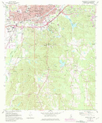
1971 Meridian South
Lauderdale County, MS

1971 Vimville
Lauderdale County, MS
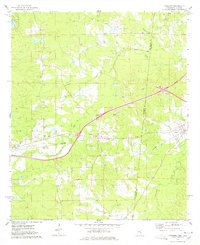
1974 Kewanee
Lauderdale County, MS
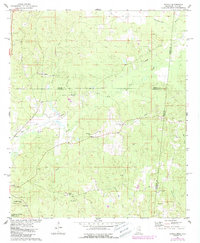
1974 Tamola
Lauderdale County, MS
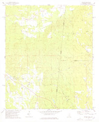
1978 Whynot
Lauderdale County, MS

1982 Meehan
Lauderdale County, MS
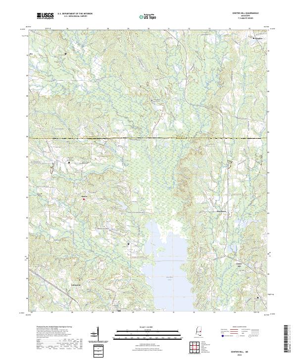
2024 Center Hill
Lauderdale County, MS
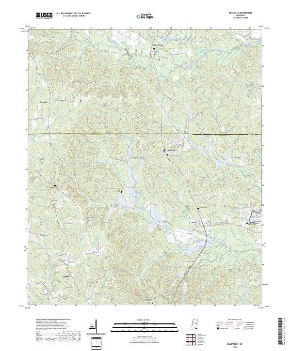
2024 Daleville
Lauderdale County, MS
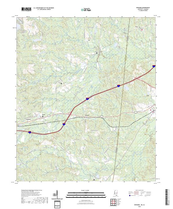
2024 Kewanee
Lauderdale County, MS
2024 Meehan
Lauderdale County, MS
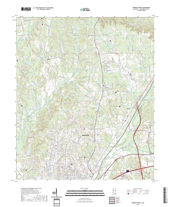
2024 Meridian North
Lauderdale County, MS
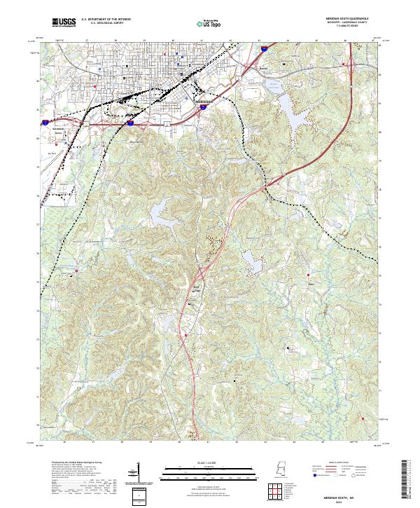
2024 Meridian South
Lauderdale County, MS
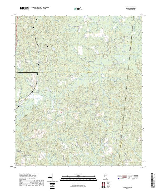
2024 Tamola
Lauderdale County, MS
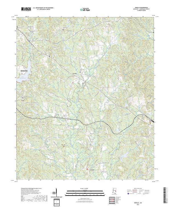
2024 Vimville
Lauderdale County, MS
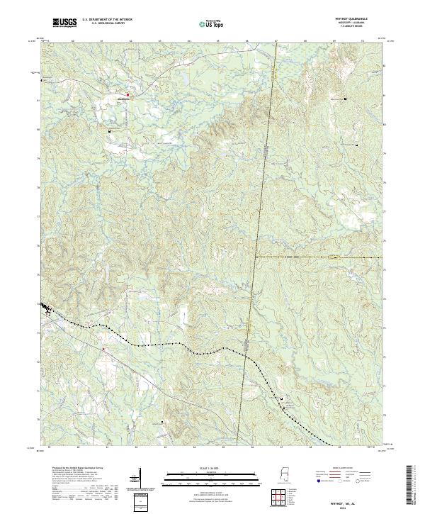
2024 Whynot
Lauderdale County, MS