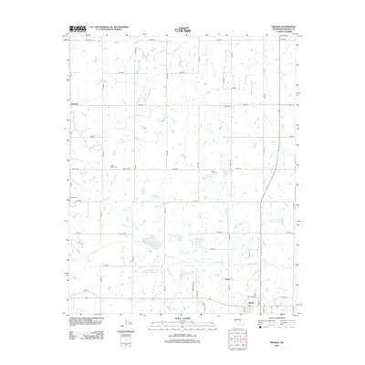
2012 Map of Meeker
USGS Topo · Published 2012About this map
Meeker serves as the primary hub in this central Oklahoma landscape, where the town grid meets a complex system of flood control and agricultural water management. The southern edge of the map shows the transition from rural township roads to the residential streets of Meeker, including Veterans Dr and N Dak St. Further north, the unincorporated areas of Rossville and Clifton anchor small-scale settlements surrounded by a network of drainage basins.
Find a feature on this map
51 named features on this map. Tap any name to fly to it.
Don’t see what you’re looking for? This feature index may not catch every label — zoom into the map to look around manually.
Map Details
Editions of this 2012 Meeker Map
This is the sole edition of this map. No revisions or reprints were ever made.
Other maps of this area

1896 · Seminole and Prague
USGS Topo · 1:125,000

1898 · Purcell
USGS Topo · 1:125,000

1905 · Chandler
USGS Topo · 1:62,500

1907 · Chandler
USGS Topo · 1:62,500

1909 · Shawnee
USGS Topo · 1:62,500

1909 · Luther
USGS Topo · 1:62,500

1930 · McLoud
USGS Topo · 1:62,500

1954 · Oklahoma City
USGS Topo · 1:250,000

1957 · Oklahoma City
USGS Topo · 1:250,000

1963 · Oklahoma City
USGS Topo · 1:250,000