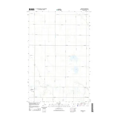
2014 Map of Mekinock
USGS Topo · Published 2014About this map
Mekinock sits on a landscape defined by the winding course of the Turtle River and a strictly ordered grid of township roads. This area of Grand Forks County shows a terrain characterized by agricultural drainage and natural depressions, including Stewart Lake and Lunby Lake. The interaction between the natural hydrology and human-made engineering is evident in features like County Ditch Number 12, which cuts across the prairie sections. The settlement of Mekinock remains the primary hub, clustered along 1st Ave near the riverbanks. The map's layout of avenues and streets, such as 24th Ave Ne and 25th ST Ne, illustrates the precision of the Public Land Survey System that governs this section of the Red River Valley, where road networks were designed to follow section lines regardless of the subtle undulations of the North Dakota plains.
Find a feature on this map
22 named features on this map. Tap any name to fly to it.
Don’t see what you’re looking for? This feature index may not catch every label — zoom into the map to look around manually.
Map Details
Editions of this 2014 Mekinock Map
This is the sole edition of this map. No revisions or reprints were ever made.
Other maps of this area

1926 · Ardoch
USGS Topo · 1:62,500

1934 · Emerado
USGS Topo · 1:48,000

1934 · Grand Forks
USGS Topo · 1:62,500

1936 · Emerado
USGS Topo · 1:62,500

1938 · Grand Forks
USGS Topo · 1:62,500

1952 · Grand Forks
USGS Topo · 1:250,000

1952 · Thief River Falls
USGS Topo · 1:250,000

1956 · Thief River Falls
USGS Topo · 1:250,000

1956 · Grand Forks
USGS Topo · 1:250,000

1957 · Thief River Falls
USGS Topo · 1:250,000