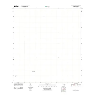
2012 Map of Melaleuca Head
USGS Topo · Published 2012About this map
Jessie Willies and Melaleuca Head stand as the primary named features in this region of Broward County during the early 2010s. This USGS survey focuses on a segment of the Florida landscape defined by these specific markers, providing a precise coordinate reference for researchers and local historians tracking the geography of the Everglades. While the map is sparse in terms of traditional road networks or industrial infrastructure, the identification of Melaleuca Head and the Jessie Willies area serves as an essential point of orientation for understanding land use and named wilderness landmarks in this part of South Florida. The lack of contour lines on this edition reflects the remarkably level terrain characteristic of this coastal inland environment.
Find a feature on this map
2 named features on this map. Tap any name to fly to it.
Don’t see what you’re looking for? This feature index may not catch every label — zoom into the map to look around manually.
Map Details
Editions of this 2012 Melaleuca Head Map
This is the sole edition of this map. No revisions or reprints were ever made.
Other maps of this area

1956 · Miami
USGS Topo · 1:250,000

1956 · West Palm Beach
USGS Topo · 1:250,000

1957 · West Palm Beach
USGS Topo · 1:250,000

1958 · West Palm Beach
USGS Topo · 1:250,000

1958 · Miami
USGS Topo · 1:250,000

1973 · Custard Apple Hammock
USGS Topo · 1:24,000

1973 · West Of Pennsuco
USGS Topo · 1:24,000

1973 · Everglades 4 NW
USGS Topo · 1:24,000

1973 · Everglades 4 NE
USGS Topo · 1:24,000

1973 · Everglades 4 SE
USGS Topo · 1:24,000