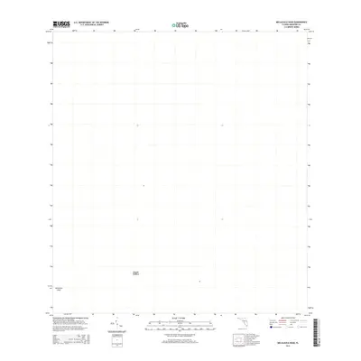
2015 Map of Melaleuca Head
USGS Topo · Published 2015About this map
Jessie Willies is the sole named settlement within this portion of Broward County, situated in a landscape primarily defined by the topographic feature of Melaleuca Head. Produced by the U.S. Geological Survey using digital imagery from 2013 and road data from the following years, this map records the sparse human footprint in an area dominated by natural terrain. The absence of traditional landmarks such as schools, churches, or heavy infrastructure highlights the distinctive character of this South Florida location. Researchers and genealogists focused on this region can use this survey to pinpoint the exact location of Jessie Willies at a point when modern mapping technologies were beginning to integrate with historical place names.
Find a feature on this map
2 named features on this map. Tap any name to fly to it.
Don’t see what you’re looking for? This feature index may not catch every label — zoom into the map to look around manually.
Map Details
Editions of this 2015 Melaleuca Head Map
This is the sole edition of this map. No revisions or reprints were ever made.
Other maps of this area

1956 · Miami
USGS Topo · 1:250,000

1956 · West Palm Beach
USGS Topo · 1:250,000

1957 · West Palm Beach
USGS Topo · 1:250,000

1958 · West Palm Beach
USGS Topo · 1:250,000

1958 · Miami
USGS Topo · 1:250,000

1973 · Custard Apple Hammock
USGS Topo · 1:24,000

1973 · West Of Pennsuco
USGS Topo · 1:24,000

1973 · Everglades 4 NW
USGS Topo · 1:24,000

1973 · Everglades 4 NE
USGS Topo · 1:24,000

1973 · Everglades 4 SE
USGS Topo · 1:24,000