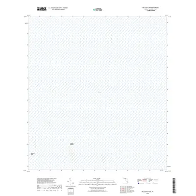
2018 Map of Melaleuca Head
USGS Topo · Published 2018About this map
Jessie Willies sits at the heart of this landscape, a named location within the expansive reaches of The Everglades in Broward County. This 2018 survey documents a region dominated by sawgrass and water, where human geography is nearly absent save for specific landmarks like Melaleuca Head. The map is characterized by its focus on wetland preservation and environmental monitoring, showing the vast, unpopulated character of the Florida interior. These isolated named heads and hammocks represent the only firm ground in a sea of wetlands, serving as critical reference points for researchers and those navigating the complex hydrology of the Glades before modern development reached this far west.
Find a feature on this map
3 named features on this map. Tap any name to fly to it.
Don’t see what you’re looking for? This feature index may not catch every label — zoom into the map to look around manually.
Map Details
Editions of this 2018 Melaleuca Head Map
This is the sole edition of this map. No revisions or reprints were ever made.
Other maps of this area

1956 · Miami
USGS Topo · 1:250,000

1956 · West Palm Beach
USGS Topo · 1:250,000

1957 · West Palm Beach
USGS Topo · 1:250,000

1958 · West Palm Beach
USGS Topo · 1:250,000

1958 · Miami
USGS Topo · 1:250,000

1973 · Custard Apple Hammock
USGS Topo · 1:24,000

1973 · West Of Pennsuco
USGS Topo · 1:24,000

1973 · Everglades 4 NW
USGS Topo · 1:24,000

1973 · Everglades 4 NE
USGS Topo · 1:24,000

1973 · Everglades 4 SE
USGS Topo · 1:24,000