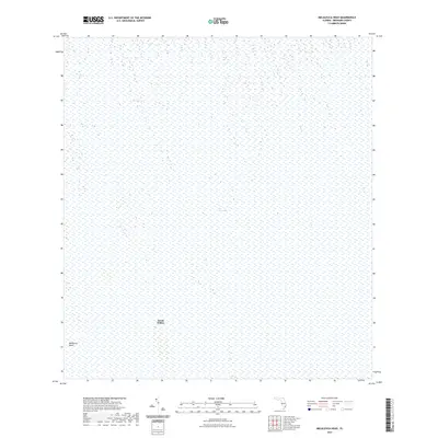
2021 Map of Melaleuca Head
USGS Topo · Published 2021About this map
The Everglades define the vast majority of this landscape in western Broward County, as documented in 2021. The map represents a portion of the conservation area where the intricate network of sawgrass and water remains the dominant feature. Human influence is nearly absent from this specific quadrangle, with Jessie Willies standing as one of the few named settlements within the interior marshland. In the southwestern corner, the topographic landmark Melaleuca Head rises slightly above the surrounding wetlands. This survey provides a modern baseline for the hydrologic and vegetative state of the river of grass, capturing a snapshot of the region's environmental preservation efforts.
Find a feature on this map
4 named features on this map. Tap any name to fly to it.
Don’t see what you’re looking for? This feature index may not catch every label — zoom into the map to look around manually.
Map Details
Editions of this 2021 Melaleuca Head Map
This is the sole edition of this map. No revisions or reprints were ever made.
Other maps of this area

1956 · Miami
USGS Topo · 1:250,000

1956 · West Palm Beach
USGS Topo · 1:250,000

1957 · West Palm Beach
USGS Topo · 1:250,000

1958 · West Palm Beach
USGS Topo · 1:250,000

1958 · Miami
USGS Topo · 1:250,000

1973 · Custard Apple Hammock
USGS Topo · 1:24,000

1973 · West Of Pennsuco
USGS Topo · 1:24,000

1973 · Everglades 4 NW
USGS Topo · 1:24,000

1973 · Everglades 4 NE
USGS Topo · 1:24,000

1973 · Everglades 4 SE
USGS Topo · 1:24,000