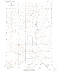
1958 Map of Melba
USGS Topo · Published 1972About this map
The agrarian landscape of the Upper Deer Flat region is defined by an intricate network of irrigation, captured here during the mid-20th century. The Union Pacific Railroad serves as a primary north-south spine, connecting rural outposts like Bowmont and Westma to the larger rail economy. This survey documents the intersection of irrigation engineering and geology, where man-made features like the Mora Canal, Siphon, and various flumes navigate around prominent volcanic elevations including Hat Butte and Mc Elroy Butte.
Find a feature on this map
46 named features on this map. Tap any name to fly to it.
Don’t see what you’re looking for? This feature index may not catch every label — zoom into the map to look around manually.
Map Details
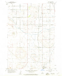
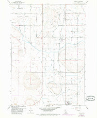
Editions of this 1958 Melba Map
3 editions found
Other maps of this area

1892 · Boise
USGS Topo · 1:125,000

1892 · Bisuka
USGS Topo · 1:125,000

1892 · Silver City
USGS Topo · 1:125,000

1894 · Bisuka
USGS Topo · 1:125,000

1894 · Silver City
USGS Topo · 1:125,000

1897 · Boise
USGS Topo · 1:125,000

1898 · Nampa
USGS Topo · 1:125,000

1898 · Silver City
USGS Topo · 1:125,000

1953 · Meridian
USGS Topo · 1:24,000

1955 · Boise
USGS Topo · 1:250,000