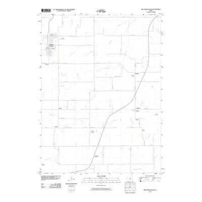
2022 Map of Melcher-Dallas
USGS Topo · Published 2022About this map
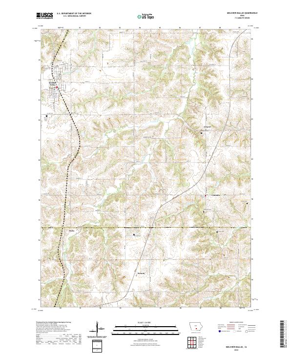
The community of Melcher-Dallas serves as the primary hub in this portion of southern Marion County, where the landscape transitions into northern Lucas County. The settlement pattern follows a traditional Iowa grid, with small unincorporated hamlets like Columbia and Gosport connected by a network of rural roads such as Co Hwy G76. The terrain is defined by the drainage systems of English Cr and Crow Cr, which create a series of ridges and valleys that historical settlers utilized for farming and small-town development.
Find a feature on this map
84 named features on this map. Tap any name to fly to it.
Don’t see what you’re looking for? This feature index may not catch every label — zoom into the map to look around manually.
Map Details
Editions of this 2022 Melcher-Dallas Map
This is the sole edition of this map. No revisions or reprints were ever made.
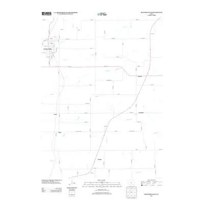
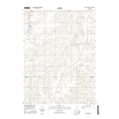
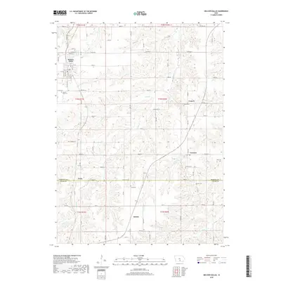
Historical Maps of Melcher-Dallas Through Time
5 maps found