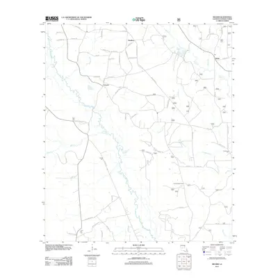
2012 Map of Melder
USGS Topo · Published 2012About this map
Calcasieu River meanders through this portion of Rapides Parish, creating a complex network of tributaries such as Lemeuse Cr and Campground Cr. The settlement of Calcasieu serves as a central point for a dense web of rural roads, including Sugartown Rd and Nessmith Rd, which connected the various family farms and timber tracts of the early 21st century. Further east, the community of Melder sits near the headwaters of Spring Cr and Squyres Br. Genealogy researchers can find several local burial grounds documented here, including Lone Star Cem, Stanley Cem, and Saint Mark Cem. The presence of the Sunset Lookout Tower in the southern reach suggests the importance of forest monitoring in this heavily wooded Louisiana landscape, while smaller settlements like Elmelhine anchor the northern boundary.
Find a feature on this map
70 named features on this map. Tap any name to fly to it.
Don’t see what you’re looking for? This feature index may not catch every label — zoom into the map to look around manually.
Map Details
Editions of this 2012 Melder Map
This is the sole edition of this map. No revisions or reprints were ever made.
Other maps of this area

1935 · Pawnee
USGS Topo · 1:31,680

1942 · Oakdale
USGS Topo · 1:62,500

1943 · Leander
USGS Topo · 1:62,500

1947 · Steep Gully
USGS Topo · 1:31,680

1949 · Glenmora
USGS Topo · 1:31,680

1951 · Steep Gully
USGS Topo · 1:24,000

1952 · Lake Charles
USGS Topo · 1:250,000

1953 · Alexandria
USGS Topo · 1:250,000
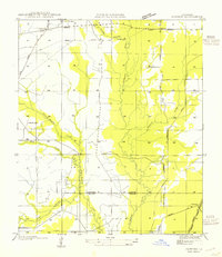
1954 · Pawnee
USGS Topo · 1:31,680
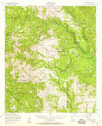
1954 · Leander
USGS Topo · 1:62,500