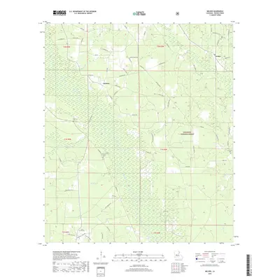
2018 Map of Melder
USGS Topo · Published 2018About this map
Calcasieu and Melder anchor this 2018 survey of southern Rapides Parish, where the Piney Woods of the Kisatchie National Forest meet a complex network of local creeks and rivers. The Calcasieu River winds through the central terrain, its course defined by small crossings like Strothers Xing. This modern map retains vital genealogical landmarks, preserving the locations of numerous rural burial grounds including Stanley Cemetery, Lone Star Cem, and Campground Cem. A dense network of family-named roads, such as J M Brodnax Rd and Bonnette Rd, reflects the deep-rooted landownership patterns of this region. The landscape is carved by diverse drainage systems including Spring Cr, Lemeuse Cr, and Masters Cr, illustrating the transition from forested uplands to the river bottomlands.
Find a feature on this map
73 named features on this map. Tap any name to fly to it.
Don’t see what you’re looking for? This feature index may not catch every label — zoom into the map to look around manually.
Map Details
Editions of this 2018 Melder Map
This is the sole edition of this map. No revisions or reprints were ever made.
Other maps of this area

1935 · Pawnee
USGS Topo · 1:31,680

1942 · Oakdale
USGS Topo · 1:62,500

1943 · Leander
USGS Topo · 1:62,500

1947 · Steep Gully
USGS Topo · 1:31,680

1949 · Glenmora
USGS Topo · 1:31,680

1951 · Steep Gully
USGS Topo · 1:24,000

1952 · Lake Charles
USGS Topo · 1:250,000

1953 · Alexandria
USGS Topo · 1:250,000
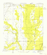
1954 · Pawnee
USGS Topo · 1:31,680
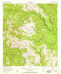
1954 · Leander
USGS Topo · 1:62,500