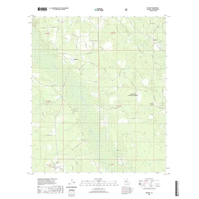
2020 Map of Melder
USGS Topo · Published 2020About this map
Calcasieu and Melder anchor this 2020 landscape in western Louisiana, where the winding Calcasieu River and its tributaries like Blounts Cr and Lemeuse Cr define the local topography. Much of the region is protected within the Kisatchie National Forest, preserving a terrain of dense pine woods and wetland drainages. This modern survey is particularly useful for genealogists, as it clearly identifies several rural burial sites, including Saint Mark Cem, Lone Star Cem, and Stanley Cemetery, providing precise locations for family history research.
Find a feature on this map
69 named features on this map. Tap any name to fly to it.
Don’t see what you’re looking for? This feature index may not catch every label — zoom into the map to look around manually.
Map Details
Editions of this 2020 Melder Map
This is the sole edition of this map. No revisions or reprints were ever made.
Other maps of this area

1935 · Pawnee
USGS Topo · 1:31,680

1942 · Oakdale
USGS Topo · 1:62,500

1943 · Leander
USGS Topo · 1:62,500

1947 · Steep Gully
USGS Topo · 1:31,680

1949 · Glenmora
USGS Topo · 1:31,680

1951 · Steep Gully
USGS Topo · 1:24,000

1952 · Lake Charles
USGS Topo · 1:250,000

1953 · Alexandria
USGS Topo · 1:250,000
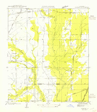
1954 · Pawnee
USGS Topo · 1:31,680
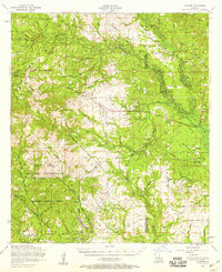
1954 · Leander
USGS Topo · 1:62,500