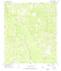
1971 Map of Melder
USGS Topo · Published 1973About this map
The Calcasieu River meanders southward through this 1971 landscape, defining the character of western Rapides Parish. Much of the area is enveloped by the Kisatchie National Forest, where the topography is shaped by a dense network of tributaries including Goodman Branch, Lemeuse Creek, and Blounts Creek. Small rural communities and church-centered settlements like Melder and Calcasieu are linked by winding roads and an Old Railroad Grade that speaks to the era's timber or industrial transit patterns. Local history is anchored by numerous spiritual and memorial sites, such as Oak Grove Ch, Peniel Ch, and St Mark Cem. Near the southern boundary, the Sunset Lookout Tower stands as a sentinel over the forest, while the presence of several Gravel Pits indicates the local extractive industry during the early 1970s.
Find a feature on this map
31 named features on this map. Tap any name to fly to it.
Don’t see what you’re looking for? This feature index may not catch every label — zoom into the map to look around manually.
Map Details
Editions of this 1971 Melder Map
2 editions found
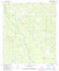
Other maps of this area

1935 · Pawnee
USGS Topo · 1:31,680

1942 · Oakdale
USGS Topo · 1:62,500

1943 · Leander
USGS Topo · 1:62,500

1947 · Steep Gully
USGS Topo · 1:31,680

1949 · Glenmora
USGS Topo · 1:31,680

1951 · Steep Gully
USGS Topo · 1:24,000

1952 · Lake Charles
USGS Topo · 1:250,000

1953 · Alexandria
USGS Topo · 1:250,000
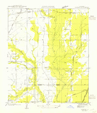
1954 · Pawnee
USGS Topo · 1:31,680
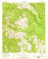
1954 · Leander
USGS Topo · 1:62,500